

The Northern Way Map
01 June, 2026
The Northern Way, with 820 km and 34 stages, runs along the Cantabrian coast from Irún to Santiago, crossing the Basque Country, Cantabria, Asturias, and Galicia. Although it has numerous services, there are fewer infrastructures in sections such as Lourenzá-Abadín, Ribadeo-Lourenzá, and Gernika-Lezama. If you do not have time to complete the entire route, you can start in Bilbao or Vilalba to cover the 100 km necessary to obtain the pilgrim passport. Prepare for the elevation changes, especially during the rainy season.

This map that you can see breaks down this fantastic route that runs along the northern Way along the entire Cantabrian coast from Irun to Santiago de Compostela. With a length of no more and no less than 820 km exceeds the traditional one. Camino Francés being only behind the Vía de la Plata. 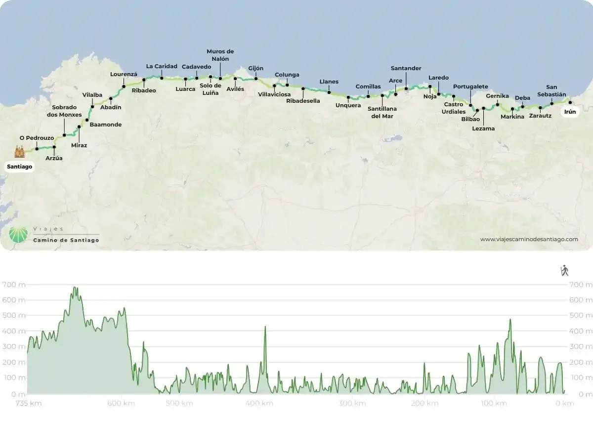
How do I understand this map of the North Way?
In this map, you will find the itinerary of the 34 stages of the northern Way. Bordering the Cantabrian Sea, on this route you will cross 4 Autonomous Communities and 6 Provinces. Visit Basque Country (provinces of Guipúzcoa and Vizcaya), Cantabria, Asturias y Galicia (provinces of Lugo and A Coruña) You will travel along a wonderful coastline passing through more than 135 well-stocked towns of all services, so don't worry! Approximately every 6 kms you will find a place with sufficient infrastructure to meet the needs of pilgrims, such as shops or bars. 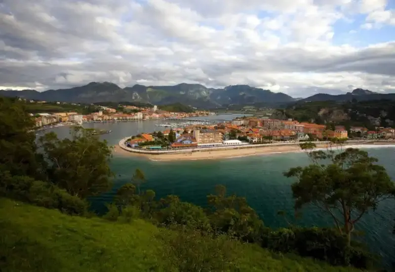
Please note! Shortage of services
There is three stages of the Camino del Norte that you must mark on the mapas it will be a bit more more difficult to find services in any part of the route: from Lourenzá to Abadín (from Mondoñedo); from Ribadeo to Lourenzá (from San Xusto) and from Gernika to Lezama (up to Goikolexea). Another peculiarity of the Camino del Norte is that you will come across big cities on the map such as Bilbao, Gijón o San Sebastian. Take advantage of its wide cultural offer!
But... where do I start the Camino?
If you want to do the northern Way complete, you must start from Irun near the border with France. The next place from where we recommend to start your Camino is Bilbao a good starting point on your map. Santander o Ribadesella can be a good starting point along the Cantabrian coast, and from Ribadeo you will enter Galician lands leaving aside the coast. If you don't have enough time to do such a long Camino del Norte, nothing happens, our recommendation is that you set as a starting point the town of Lugo, in the province of Lugo. Vilalba from there you will be able to make the final stretch of the route that you see on the map to complete the to complete the 100 kms necessary and thus obtain the Compostela. 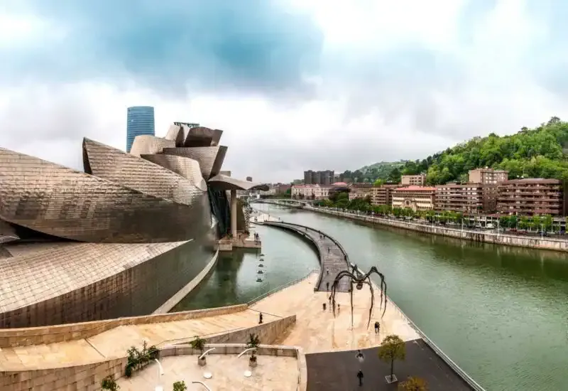 Remember that this is one of the longest CaminosAnd to tell the truth perhaps one of those that accumulates greater slopes. So we recommend a little caution especially in case of making the trip in the rainy season, which can make it a little more expensive to finish certain stages. But don't worry, following a couple of tips to prepare yourself physically you will be able to do this Camino without any problem!
Comments (2)
Rogelio Arellano
Rogelio Arellano
Leave a comment