

The Lighthouse Way
8 Stages | 200 km
Do you know that feeling of wanting to shout with excitement at the top of your lungs?
When was the last time you experienced a true sense of freedom? If you are passionate about hiking, if it makes you feel free and stirs your senses like butterflies in love, you have to discover the The Lighthouse Way on the Camino de Santiago.
This route is a complete sensory experience: the explosion of colors in unspoiled nature, the scent and taste of the crashing sea, the delicate softness of the sand, and the gentle melody of the ocean breeze. This, and much more, is The Lighthouse Way.


Our Trips to the Way of the Lighthouses
Services We Offer at Viajes Camino de Santiago
Included in All Our Routes
-
Accommodation booking with the best options selected according to your budget.
-
Luggage transport between stages.
-
Practical information about the Camino in a detailed guide.
-
On-route telephone assistance — we’re by your side for any questions or issues.
-
Travel insurance with comprehensive coverage.
On Group Routes
-
Professional accompanying guides throughout the Camino.
-
Support vehicle available during the stages.
Optional Services
-
Meals and diets: option for breakfasts or half board.
-
Private transfers from/to the point you need.
-
Bicycle rental (mountain or electric bikes).
Map of The Lighthouse Way
The map shows the full route of The Lighthouse Way, from Malpica to Cape Finisterre, along the spectacular Galician coastline. This hiking route, approximately 200 km long, follows the shoreline of the Costa da Morte, passing through emblematic places such as Ponteceso, Laxe, Camariñas, Muxía and Cee.
At the bottom, the elevation profile of the route is shown, highlighting the changes in altitude and the most demanding sections, such as the ascent to Monte Nariga, the climbs and descents at Cape Roncudo, or the challenging Monte Cachelmo, among many others. Each stage is truly special, featuring seascapes, unspoiled beaches, forests and historic lighthouses, making it an unforgettable journey for hiking and nature lovers.

Information about The Lighthouse Way
Why choose The Lighthouse Way
Get ready to journey into the wild on The Lighthouse Way.
The Lighthouse Way, known in Galician as “O Camiño dos Faros”, is a wild hiking route that connects Malpica de Bergantiños and Finisterre, from north to south, along the Costa da Morte. Its essence is based on two main principles: walking as close as possible to the sea (the Atlantic) and passing by the lighthouses along the way. There is also a third equally important condition: that the route is safe, avoiding inaccessible or dangerous coastal sections.
With these ideas as a guide, the result is a 200 km itinerary of wild trails, with the ocean (almost) always on your right, accompanying the walker with the constant — and relaxing — sound of the waves. But this route is much more than the sea: forests, mountains, capes, streams, beaches, dunes, lagoons, heritage, stories, legends, shipwrecks, sunsets, gastronomy and, of course, its towns and their people. A unique trail that, interestingly, is still awaiting official recognition as a Long Distance Trail (GR).
What to see and do on The Lighthouse Way?
Wild nature, fishing villages and traces of shipwrecks, as well as lighthouses.
- Casa del Pescador in Malpica
- Punta Nariga Lighthouse
- Cape Roncudo Lighthouse
- Costa da Morte Contemporary Art Museum in Corme
- Dolmen of Dombate
- Sea Museum of Laxe
- Man Museum and House in Camelle
- Glass Beach
- Monte Branco Dune
- Cemetery of the English
- Lace Museum in Camariñas
- Punta and Santuario da Barca in Muxía
- Cape Touriñán Lighthouse
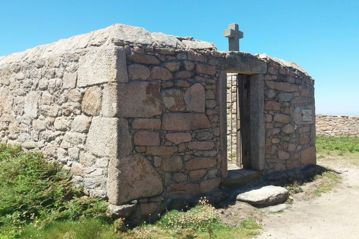
- Cape Finisterre Lighthouse


Where to start The Lighthouse Way?
From Malpica de Bergantiños
The Lighthouse Way begins in the fishing town of Malpica. Whether you walk the entire route (around 200 km in 8 stages) or just the first four stages (approx. 92 km), your adventure starts here.
It is a unique route: you will be accompanied by the sound and breeze of the Atlantic, as well as some of the wildest and most legendary landscapes in Galicia, right in the heart of the Costa da Morte.
From Arou
If you start in Arou, a small and charming fishing village, you will dive straight into the heart of the Costa da Morte. You will walk along a rugged coastline, stopping at places full of symbolism such as Muxía, and finish with a spectacular highlight: the Finisterre Lighthouse.


Stages of The Lighthouse Way
The Lighthouse Way is one of the most spectacular hiking routes in Galicia and a direct journey into the heart of the Costa da Morte. Over approximately 200 km, from Malpica to Cape Finisterre, you will walk among cliffs, wild beaches, Atlantic forests and fishing villages full of character.
Each stage is different: stretches of trail right by the sea, endless sandy beaches, wooden boardwalks, demanding climbs and, as a guiding thread, the lighthouses that mark the way. In the following links, you will find the main stages with their distances, points of interest and tips to enjoy the route to the fullest.


The villages of Way of the Lighthouses
History of The Lighthouse Way
The history of The Lighthouse Way is recent, although its route follows ancient local paths that for generations connected coves, ports and villages along the Costa da Morte.
The initiative of the “trasnos”
On December 7, 2012, a small group of hikers — six people and two dogs — set themselves a challenge as simple as it was wild: to connect Malpica and Finisterre walking as close as possible to the sea, with the lighthouses as their guiding thread.
After several days of walking, on January 26, 2013, they reached Cape Finisterre, the ancient Roman Finis Terrae, completing the original idea: an Atlantic route, parallel to the ocean, designed to enjoy nature in its purest state.
That group named themselves the “trasnos”, in tribute to the mischievous goblins of Galician mythology. And, in a gesture of love for their land, they set a new goal: for this path to exist, improve and endure, always with the utmost respect for the environment. To achieve this, they returned to the area and carried out a second journey to refine sections and make the route more walkable.
A collaborative project
With the momentum of social media, the idea began to grow. New walkers were invited, and little by little the stages were completed through group outings that grew edition after edition, always with the same spirit: sharing the route and protecting what makes it unique.
Today, The Lighthouse Way is a benchmark for hiking in Galicia. And we also want to contribute our grain of sand by presenting this spectacular route, so you can experience it at your own pace, with the Costa da Morte as your travel companion.
Frequently asked questions about Way of the Lighthouses
-
How many stages does the Way of the Lighthouses have?
The Way of the Lighthouses, in Galician, Camiño dos Faros, has a total of 8 stages in which you walk along the Costa da Morte through 200 km parallel to the sea (almost always). Each stage is the distance you cover in one day, from the starting point to the end of the walk, where you will spend the night. The stages can vary in distance and difficulty, and it is important to note that they can be adjusted according to your pace and physical condition. Some pilgrims choose to divide certain long or hard stages, or lengthen those that are shorter or easier to walk. It all depends on having a place to sleep. -
What to see on the Costa da Morte?
The Costa de la Muerte, or Costa da Morte in Galician, is one of Galicia's most striking destinations, steeped in history, nature and legends. This stretch of the Galician coastline, known for its rugged landscape and its connection with ancient shipwrecks, offers a unique natural and cultural richness, ideal for those looking to explore beyond the Camino de Santiago or the Way of the Lighthouses.- Cape Finisterre: One of the most emblematic points of the Costa de la Muerte, and the final kilometre of the Camino de Santiago for many pilgrims. Here, the cliffs offer breathtaking views of the Atlantic, and its lighthouse is a symbol of pilgrimage and overcoming.
- Cabo Vilán: Famous for its impressive lighthouse, the oldest lighthouse in Spain with electric light, surrounded by steep cliffs and unrivalled panoramic views. A perfect place to enjoy the power of the Atlantic Ocean.
- Cabo Touriñán: a simple lighthouse, but located at the westernmost point of Spain in the Iberian Peninsula...
- Carnota Beach: With its more than 7 km of fine sand and crystal clear waters, it is one of the longest and most beautiful beaches in Galicia. It is surrounded by mountains and marshes, which makes it a unique natural environment.
- Muxía and the Virgen de la Barca: This coastal village is known for the sanctuary of the Virgen de la Barca, who according to legend helped the Apostle Santiago on his mission. The views from the cliffs are breathtaking and the place has a mystical air.
- Ézaro Waterfall: One of the few waterfalls in Europe that flows directly into the sea. This natural spectacle is located in the river Xallas and is a must for its unique beauty.
- Dolmen de Dombate: For history lovers, this megalithic monument is one of the most important in Galicia. It dates back more than 4,000 years and is a testimony to the region's prehistoric past.
All the Camino de Santiago routes
-

The French Way
124 Stages 768 KmsFrom Saint-Jean-Pied-de-Port to Santiago de Compostela. Follow the most recommended route of the Camino.
view route -

The Portuguese Way
45 Stages 620 KmsFrom Lisbon to Santiago de Compostela. Enjoy a Camino through the basins of the Tagus, Douro, and Miño rivers.
view route -

The Portuguese Way along the coast
38 Stages 194 KmsFrom Porto to Santiago de Compostela. The Atlantic Ocean will guide your steps along the Portuguese and Galician coastline.
view route -

Portuguese Way: spiritual variant
7 Stages 81 KmsFrom Pontevedra to Padrón. Relive the final stretch of the Apostle Saint James’s posthumous journey.
view route -

Route to Finisterre and Muxía
19 Stages 120 KmsFrom Santiago de Compostela to Muxía. A mystical and spiritual journey to the ends of the Earth.
view route -

Northern Way
58 Stages 820 KmsFrom Irún to Santiago de Compostela. An unforgettable experience with breathtaking landscapes.
view route -

The Primitive Way
32 Stages 268 KmsFrom Oviedo to Santiago de Compostela. It follows the first Camino de Santiago, tracing the footsteps of Alfonso II.
view route -

The English Way
13 Stages 113 KmsFrom Ferrol to Santiago de Compostela. Immerse yourself in the naval and historical heritage of a truly unique Camino.
view route -

The Sanabrian Way
15 Stages 265 KmsFrom Granja de Moreruela to Santiago de Compostela. Cross the region of Sanabria and the mountains of Ourense.
view route -

The Winter Way
0 Stages 120 KmsFrom Ponferrada to Santiago de Compostela., through the regions of Valdeorras and Ribeira Sacra.
view route -

Father Sarmiento Way
9 Stages 142 KmsThe Father Sarmiento Way links Pontevedra to Santiago de Compostela, offering a scenic journey through beautiful landscapes.
view route -

Way of the Lighthouses
9 Stages 200 KmsFrom Malpica to Finisterre. A 200-kilometre journey along the coast and through the wildest nature.
view route

