


Camino Inglés: Stages, Map and Where to Start
The Camino Inglés, also known as the English Way, sets out from the ports where pilgrims arriving by sea from England and northern Europe came ashore in the Middle Ages. From Ferrol, in Galicia, its traditional starting point, it follows the coast of the rías (estuaries) through Neda, Pontedeume, Miño and Betanzos, heads inland through the A Coruña countryside to Hospital de Bruma and reaches Santiago via Sigüeiro: 117.2 km (73 miles) in 5 stages, which you can walk in full in a week. From A Coruña it’s about 74 km in 4 stages, joining the route from Ferrol at Hospital de Bruma.
Start with the number of days you have: the selector shows the stages from your starting point, the distance and the walking days. From Ferrol you cover more than the 100 km required for the Compostela (the pilgrim certificate); from A Coruña you fall short, except in the cases we explain in the FAQs. To compare it with the other routes, see all the Camino de Santiago routes.


- 5 stages · full route
- 117.2 km
- At your own pace · flexible start points and stages
Our Camino Inglés Tours
Accommodation booked for you and support along the route. Luggage transfer included on group, dog and VIP tours; optional on the rest.
2 tours to choose how you do the Camino.
-
 6 days / 5 nights
-
 7 days / 6 nights
Services we offer on the Camino de Santiago
-
Included in all our routes
-
Accommodation booking
selected according to your budget (5, 6 or 7 nights).
-
Practical information
of the Camino de Santiago in a detailed guide.
-
Telephone assistance on the trail
for any questions or incidents, we are by your side.
-
Travel insurance
with comprehensive coverage.
-
-
On group routes
-
Accompanying guides
professional guides throughout the Camino.
-
Support vehicle
available during the stages.
-
-
Optional services
-
Luggage transport
between stages.
-
Meals and diets
Breakfast or half board option.
-
Private transfers
from/to the point you need.
-
Camino Inglés Route Map
The map shows the full route of the Camino Inglés, from Ferrol or A Coruña, in Galicia, to Santiago de Compostela, Spain. This historic pilgrimage route, roughly 114 km long from Ferrol or 75 km from A Coruña, passes through historic towns such as Neda, Pontedeume and Betanzos.

Camino Inglés Elevation Profile and Sections
Altitude (m) vs. distance from Ferrol (km) · 117.2 km · 5 stages
Hover over or tap a stage on the profile to see its details; the number takes you to its row in the table.
- End of stage
- Hardest stages
- Alternating sections
The Camino Inglés, Section by Section
The Rías: Ferrol to Betanzos
See the 2 stages in this section →Two days with the sea almost always by your side. Ferrol, the naval city of San Felipe Castle and the old fishermen’s quarter of Ferrol Vello, sees pilgrims off along wooden boardwalks across the salt marshes of the ría. You pass Neda, at the head of the ría, and Fene, a shipbuilding town, before the pine woods and beach of A Magdalena, in Cabanas; Pontedeume, with mountains, river and sea, has the Fragas do Eume as its natural emblem. The second stage starts with the toughest climb of the route, passes the beaches of Miño and enters Betanzos over the Ponte Vella (old bridge) across the Mandeo.
Betanzos and the Climb Inland
See the 1 stages in this section →The toughest and most beautiful stage of the Camino Inglés swaps the coast for the interior. Betanzos, former capital of the Kingdom of Galicia, sees pilgrims off with its old town, a listed historic-artistic site, and the churches of Santa María de Azogue and San Francisco. After that, the profile rises steadily overall: from virtually sea level to about 460 meters at Mesón do Vento, the highest point of the route, through rolling hills, woods, hamlets and past the Beche reservoir, with few services. At Hospital de Bruma, whose name recalls an old pilgrims’ hospital, the route from A Coruña joins in.
Shared Section: Bruma to Santiago
See the 2 stages in this section →Pilgrims starting from Ferrol and from A Coruña share the last two stages. From Hospital de Bruma, a hamlet in the municipality of Mesía with the Gothic chapel of San Lorenzo, the Camino links rural parishes and small hamlets among the gentle hills of the Ordes area. Sigüeiro, the main town of the municipality of Oroso, with roots in the Iron Age hillfort culture and right on Santiago’s doorstep, welcomes pilgrims with its 14th-century medieval bridge over the Tambre. The last day follows the area’s rivers and streams, with the Tambre and the Lengüelle as the main ones, to the old town of Santiago and the Praza do Obradoiro.
All Stages of the Camino Inglés
The 5 stages from Ferrol to Santiago de Compostela: 117.2 km in total. Each stage links to its full page (route, profile, where to sleep and what to see); “to Santiago” is the distance left at the end of the stage, and the difficulty is a guide for an average walker with a light backpack.
Daily stages of 19.9 to 28.9 km. The longest: Ferrol – Pontedeume (28.9 km). Factor in the terrain and conditions as well. See in the table
Daily stages of 19.9 to 25 km. The longest: Hospital de Bruma – Sigüeiro (25 km). Factor in the terrain and conditions as well. See in the table
Daily stages of 20 to 25 km. The longest: Hospital de Bruma – Sigüeiro (25 km). Factor in the terrain and conditions as well. See in the table
Daily stages of 20 to 25 km. The longest: Hospital de Bruma – Sigüeiro (25 km). Factor in the terrain and conditions as well. See in the table
Daily stages of 20 to 20 km. The longest: Sigüeiro – Santiago de Compostela (20 km). Factor in the terrain and conditions as well. See in the table
From Ferrol to Santiago · 5 stages
- Section distance
- 117.2 km
- Walking one stage a day
- 5 days
- Plus travel there and back
- 7 days
From Pontedeume to Santiago · 4 stages
- Section distance
- 88.3 km
- Walking one stage a day
- 4 days
- Plus travel there and back
- 6 days
From Betanzos to Santiago · 3 stages
- Section distance
- 68.4 km
- Walking one stage a day
- 3 days
- Plus travel there and back
- 5 days
From Hospital de Bruma to Santiago · 2 stages
- Section distance
- 45 km
- Walking one stage a day
- 2 days
- Plus travel there and back
- 4 days
From Sigüeiro to Santiago · 1 stage
- Section distance
- 20 km
- Walking one stage a day
- 1 day
- Plus travel there and back
- 3 days
We count one day per stage and add two days for travel. Rest days aren’t included; you may need more days if you split stages. Nights and services depend on the tour you choose.
From Ferrol
Ferrol is the traditional starting point of the Camino Inglés: from here to Santiago it’s 117.2 km in 5 stages, more than the 100 km on foot required for the Compostela, and about 7 days including travel there and back. In the past, pilgrims coming from the north and from the British Isles landed on its shores and continued on foot to Santiago. The route skirts the Ría de Ferrol, passes through Neda, Pontedeume, Miño and Betanzos, climbs inland to Hospital de Bruma and reaches Santiago via Sigüeiro.
We organize it as our Camino Inglés from Ferrol in 5 stages tour. If you’d like shorter days, the first stage, 28.9 km, can be split at Neda: Ferrol – Neda (14.4 km) and Neda – Pontedeume (14.5 km), which makes the Camino 6 stages. Arrive with time to see the city: San Felipe Castle, the old fishermen’s quarter of Ferrol Vello, the Naval Museum and the Meninas de Canido mural.
See also:How to get to Ferrol
From A Coruña
A Coruña is the other starting point of the Camino Inglés: its port also welcomed thousands of pilgrims arriving by sea in the Middle Ages. To Santiago it’s about 74 km in 4 stages, 6 days including travel there and back: the first two, via Sergude, take you to Hospital de Bruma, where the route from Ferrol joins, and the last two are the ones in this table, via Sigüeiro. The traditional starting point is the Church of Santiago, in the old town.
From A Coruña you don’t reach the 100 km required for the Compostela: it’s only given to residents of the city and to European pilgrims who add a section of a Camino route walked in their own country to make up the 100 km (we explain it in the FAQs). We organize it as our Camino Inglés from A Coruña tour. Before you set off, visit the Tower of Hercules, the oldest Roman lighthouse in the world still in use and the symbol of the city.
See also:How to get to A Coruña · A Coruña, the other starting point of the English Way
| # | Stage | Distance | To Santiago | Difficulty |
|---|---|---|---|---|
| The Rías: Ferrol to Betanzos Ferrol → Betanzos · 2 stages · 48.8 km | ||||
| 1 | Ferrol – Pontedeume Stage summaryThe first stage is long but beautiful, almost always hugging the sea, with spectacular views of the Ría de Ferrol. You leave from the Curuxeiras pier, pass the Co-Cathedral of San Xulián and skirt the ría on wooden boardwalks across the salt marshes, on a mostly urban route with hardly any climbs. You pass through Neda, whose bread is its hallmark, and Fene, a shipbuilding town, and further on the pine woods and beach of A Magdalena, in Cabanas, await. The last steps cross the bridge over the Eume into Pontedeume, the town of the Andrade Tower (Torreón de los Andrade). Our tours: What to see and do in the towns on this stage | 28.9 km | 88.3 km | Moderate |
| 2 | Pontedeume – Betanzos Stage summaryA short stage that starts with the toughest climb of the Camino Inglés: two demanding kilometers out of Pontedeume, best taken calmly. At the top comes the reward, with good views and eucalyptus woods, and from there the sea keeps you company for almost the whole way, with lovely panoramic views. In Miño, with its ría and beaches, a dip is in order if the weather’s good. After the short, steep climb at Matacabalos you enter Betanzos over the Ponte Vella across the Mandeo River. The “city of knights” has one of the most interesting medieval old towns in Galicia and a hugely famous tortilla de patatas (Spanish omelet). What to see and do in the towns on this stage | 19.9 km | 68.4 km | Moderate |
| Betanzos and the Climb Inland Betanzos → Hospital de Bruma · 1 stage · 23.4 km | ||||
| 3 | Betanzos – Hospital de Bruma Stage summaryThe toughest and most beautiful stage of the Camino Inglés. The profile rises steadily overall: from virtually sea level in Betanzos to about 460 meters at Mesón do Vento, the highest point, from where on clear days you can see the sea and A Coruña. You walk away from the coast, among low rolling hills, woods and hamlets, with a stop at the Beche reservoir. There are few services: set off well stocked with water and food. Hospital de Bruma owes its name to a pilgrims’ hospital documented in 1175; this is where the route from A Coruña joins. What to see and do in the towns on this stage | 23.4 km | 45 km | Hard |
| Shared Section: Bruma to Santiago Hospital de Bruma → Santiago de Compostela · 2 stages · 45 km | ||||
| 4 | Hospital de Bruma – Sigüeiro Stage summaryA 25 km day through inland A Coruña, now on the section shared by pilgrims from Ferrol and from A Coruña. In Hospital de Bruma, the chapel of San Lorenzo, a late Gothic church from the 16th century, keeps its original triumphal arch. The route links small hamlets and rural parishes among the gentle hills of the Ordes area. The finish is Sigüeiro, the main town of the municipality of Oroso, with roots in the Iron Age hillfort culture and right on Santiago’s doorstep: its great landmark is the 14th-century medieval bridge over the Tambre River and, beside the river, the Illa do Refuxio recreation area. What to see and do in the towns on this stage | 25 km | 20 km | Easy |
| 5 | Sigüeiro – Santiago de Compostela Stage summaryThe last day of the Camino Inglés: 20 kilometers from Sigüeiro to the cathedral. Set off early to make the most of your arrival, because the excitement makes the stage fly by. You cross the 14th-century medieval bridge over the Tambre and continue through the Ordes area, among the rivers and streams that water it, with the Tambre and the Lengüelle as the main rivers and streams such as the Cabeceiro, passing close to the Illa do Refuxio recreation area. Santiago’s old town, the Praza do Obradoiro and the hug of the Apostle are the finishing touch; all that’s left is to collect your Compostela. What to see and do in the towns on this stage | 20 km | 0 km | Easy |


Why Choose the Camino Inglés?
A route you can walk in full in a week.
The Camino Inglés is an adventure that has little in common with other Camino routes such as the Camino Francés or the Portuguese Camino. Although more and more pilgrims are taking it on, the truth is that it’s still a quiet, solitary route, perfect if you’re looking for a few peaceful days.
It’s an easy route that, although it has the odd steep climb, can be walked comfortably if you take it slowly. The 114 km between Ferrol and Santiago de Compostela make it the perfect choice if you want to walk a complete Camino de Santiago route in just a few days.
This route has two very distinct parts. On the first section the sea keeps you company, treating you to spectacular scenery of rías, salt marshes, harbors, beaches and large towns of historic, monumental and industrial importance. But as you leave the sea behind, the landscape becomes more and more rural: the large towns give way to remote hamlets, woods and lonely paths so typical of inland Galicia.
What to See and Do on the Camino Inglés
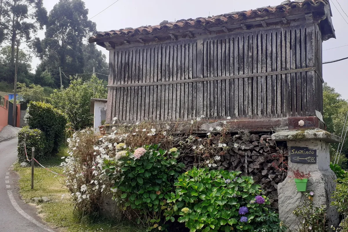
Endless beaches, the scent of salt air, fishing villages and a rich history.
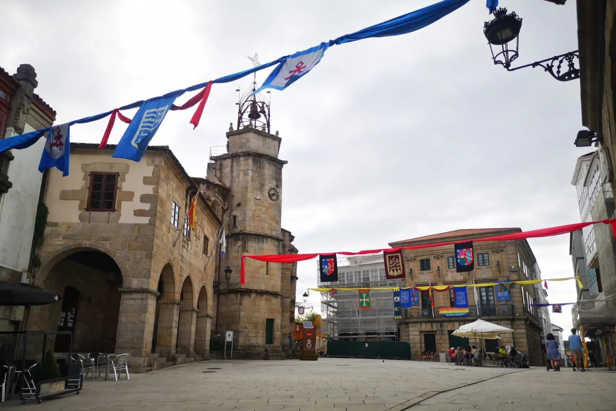
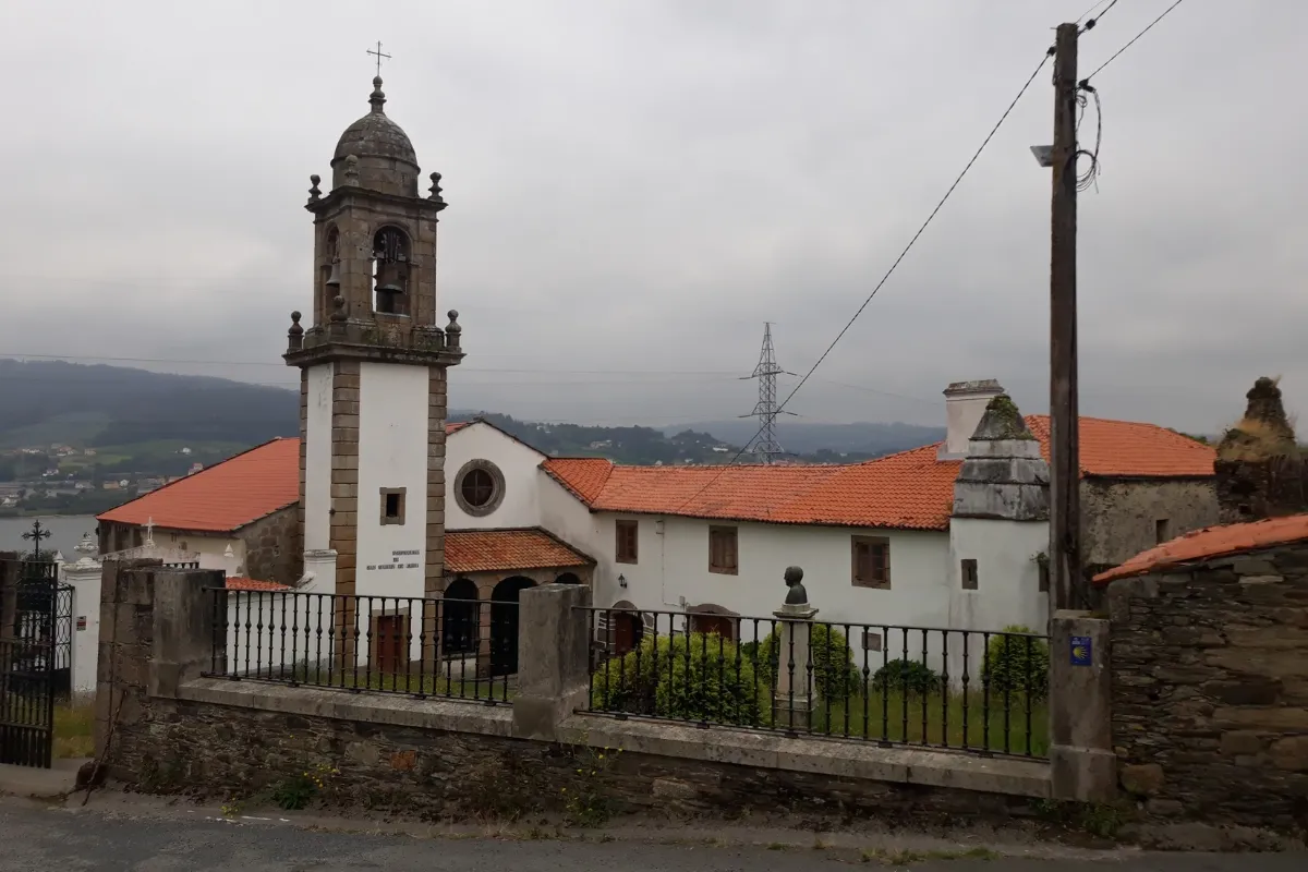
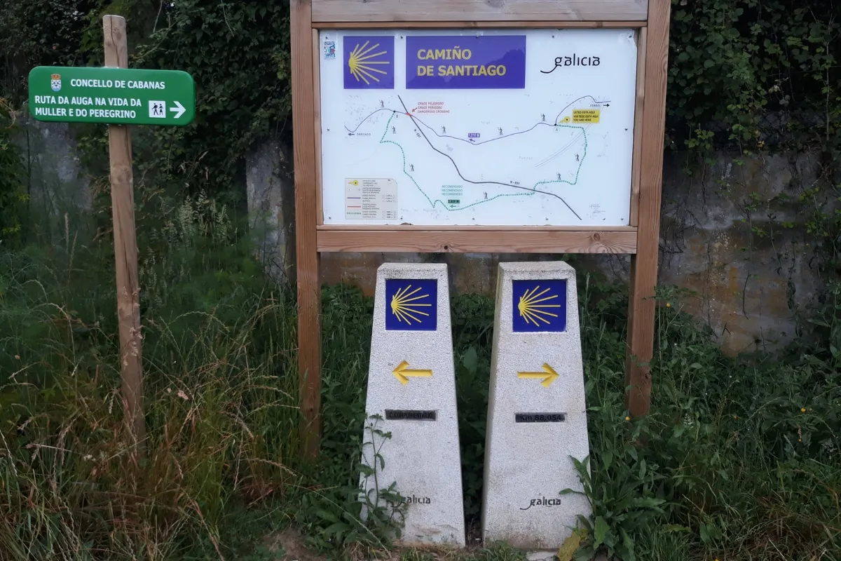
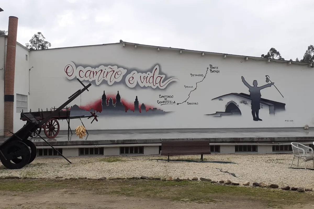
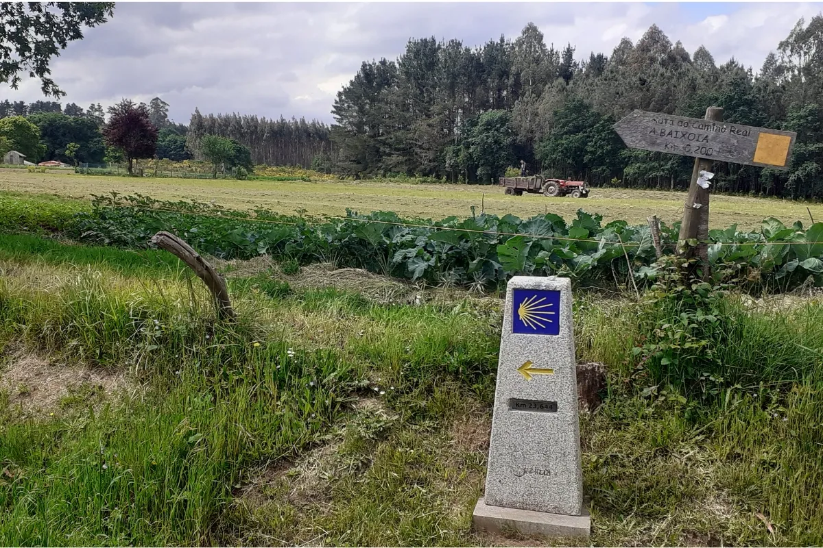
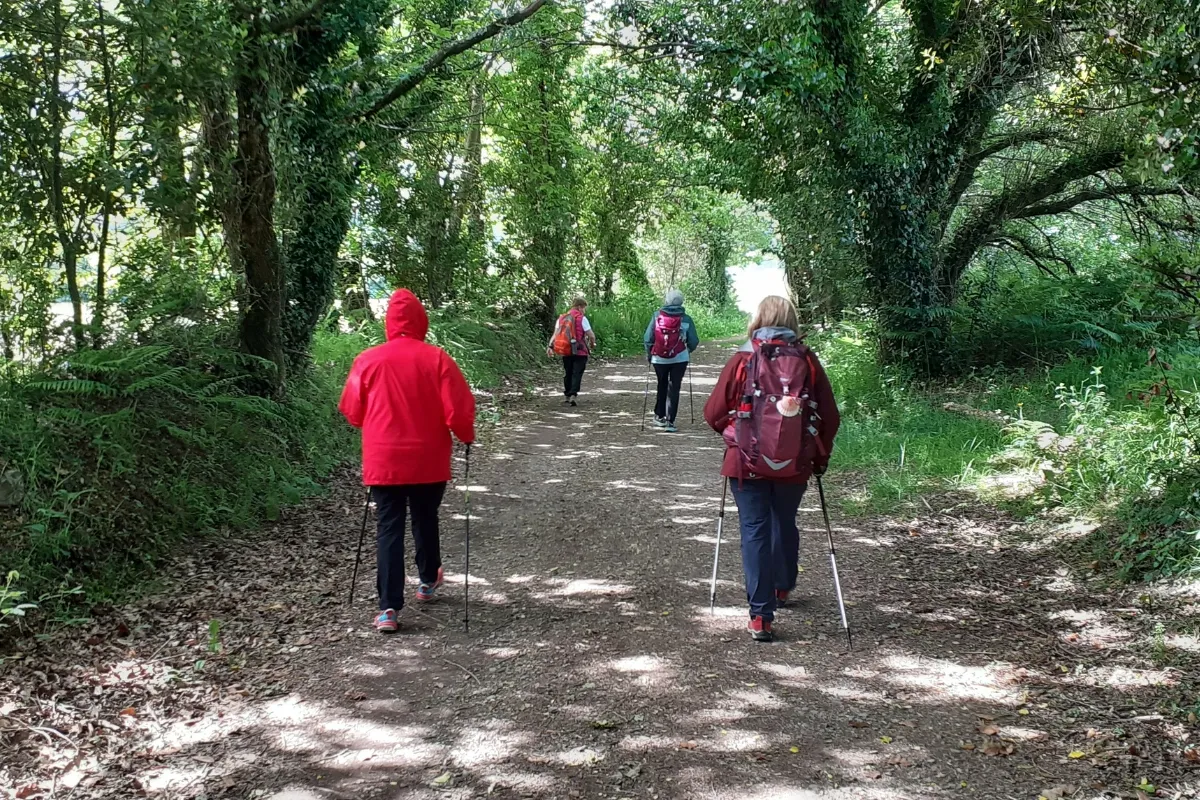
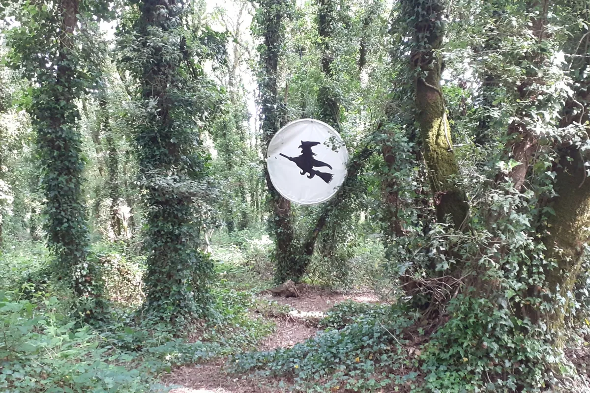
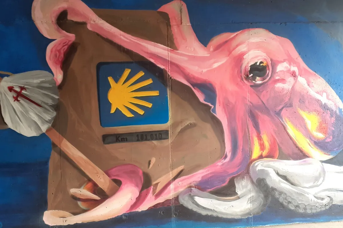
What to Plan Before You Go
Adjust how you split the stages to the way you walk, the time of year and the accommodation available.
Terrain: One Tough Climb and One Upland Stage
The Camino Inglés is an easy route, but it has the odd steep climb: take it slowly. The first stage, Ferrol–Pontedeume (28.9 km), is gentle, mostly urban and with hardly any climbs; what counts is the distance, and it can be split at Neda. The toughest climb comes the next day: two demanding kilometers out of Pontedeume, on Pontedeume–Betanzos (19.9 km), and, before Betanzos, the short, steep climb at Matacabalos.
Betanzos–Hospital de Bruma (23.4 km) is the toughest stage: it climbs from sea level to about 460 m at Mesón do Vento, the highest point of the route, with short but frequent ups and downs. From Hospital de Bruma the terrain eases: rural parishes and gentle hills on Hospital de Bruma–Sigüeiro (25 km) and, from there, the final 20 km to Santiago.
Services and Atmosphere: A Quiet Camino
The Camino Inglés is still a quiet, solitary route, although more and more pilgrims are taking it on: perfect if you’re looking for a few peaceful days. There are few services between Betanzos and Hospital de Bruma, so leave Betanzos well stocked with water and food. Hospital de Bruma is a hamlet of barely 40 residents, with no services other than a small albergue (pilgrim hostel) and a vending machine: bear that in mind if you’re staying there.
On the coast, the Camino passes beaches such as A Magdalena, in Cabanas, and those of Miño: if the weather’s good, a dip is in order. In winter there are fewer hours of daylight and the services available change: don’t assume all accommodation is open.
Getting to the Start and Back from Santiago
Choose your starting point first, then fit the transport around it: see how to get to Ferrol or how to get to A Coruña. If you start in Ferrol, set aside time for San Felipe Castle and Ferrol Vello; if you’re starting in A Coruña, for the Tower of Hercules and the old town. As an optional service we arrange private transfers to or from wherever you need.
Add the time to get there and back to your walking days: our tour from Ferrol takes 7 days and 6 nights, and the one from A Coruña, 6 days and 5 nights. The last stage ends in Santiago: leaving your return for the next day gives you time to collect the Compostela and see the city.
Where to Sleep and Luggage Transfer
Use the stage pages and the albergue directory to place your overnight stops. There are pilgrim albergues in Neda, Pontedeume, Miño, Betanzos, Presedo and Hospital de Bruma, the last public albergue before Santiago. If you split the first stage, Neda has its own.
On our tours you can choose between a private albergue or a private room in guesthouses, rural houses and small hotels, and in Santiago also charming hotels. Luggage transfer between stages is an optional service: your quote should show what you’ve chosen.
History of the Camino Inglés
This route began with pilgrims arriving by sea, mainly from English ports, hence its name. Let’s take a closer look at its history.
Origins
The Camino Inglés owes its name to the first travelers who followed it. Its history begins in the Middle Ages, when news of the discovery of the remains of the Apostle James had spread throughout Europe. Many pilgrims from the Nordic countries, Germany, Holland, Belgium, northern France, Great Britain, Ireland and even Iceland chose this sea route to reach Galician ports and continue their pilgrimage to Compostela overland.
Ferrol, A Coruña and other towns, closely tied to the sea in the Late Middle Ages, became the most important landing places for pilgrims of the time. So much so that hospitals were even built to look after them. Back then, flimsy ships and pirate attacks made the voyage a real odyssey.
Centuries of Splendor
Pilgrimage by sea grew enormously, especially during the Hundred Years’ War, in the 14th and 15th centuries, when the constant fighting between France and England made traveling by sea safer than the overland routes. This brought great advances in ships and navigation techniques.
The English route grew so popular that in 1428 more than 4,000 British pilgrims set sail for Galicia, spread across 61 ships. According to historians, most of the pilgrims came from the common people. The fare was equivalent to an average worker’s monthly wage, a relatively affordable cost.
Later Decline and Today’s Revival
Like the other Camino routes, the Camino Inglés also fell into oblivion from the 16th century on. It wasn’t until the late 20th century that public initiatives were launched to revive and promote it, waymark it and build albergues.
Frequently asked questions about Camino Inglés
-
How long is the Camino Inglés, and how many stages does it have?
As we organize it in our stage pages, the Camino Inglés has 5 stages and 117.2 km (73 miles) from Ferrol to Santiago de Compostela. From A Coruña, its other starting point, it’s about 74 km in 4 stages: two of its own as far as Hospital de Bruma and the last two shared with the route from Ferrol. The split is a convention: the first stage, 28.9 km, can be split at Neda, which makes the Camino 6 stages.
-
Where does the Camino Inglés start?
It has two starting points, both in the province of A Coruña and both former landing ports for pilgrims arriving by sea: Ferrol, the traditional start, 117.2 km from Santiago, and A Coruña, about 74 km away. The two routes meet at Hospital de Bruma, at the end of the third stage from Ferrol.
-
How many days does it take to walk the Camino Inglés?
From Ferrol, 5 days of walking at one stage a day; our tour lasts 7 days and 6 nights including travel there and back. If you split the first stage at Neda, it’s 6 days of walking. From A Coruña it’s 4 days of walking and a 6-day trip. It’s a route you can walk in full in a week.
-
Where do you need to start the Camino Inglés to get the Compostela?
From Ferrol: it’s 117.2 km, more than the 100 continuous km on foot toward Santiago along a single route that the Pilgrim’s Office requires (200 km by bike). From Pontedeume, at 88.3 km, you no longer reach it. From A Coruña, at about 74 km, not on its own either, but there is an exception agreed between the Cathedral Chapter and A Coruña City Council: if you live in the municipality of A Coruña, show your Spanish ID card (DNI) with your address in the city (the province isn’t enough); if you’re a European citizen and your country has recognized Camino routes, you can add a section walked there to make up the 100 km. Pilgrims from Ireland and the British Isles do it with the Celtic Camino: 25 km in their home country plus the distance from A Coruña to Santiago. See the Compostela requirements.
-
How difficult is the Camino Inglés?
It isn’t considered very difficult: it’s an easy route that, although it has the odd steep climb, you can walk comfortably if you take it slowly. What you notice most is the distance of the first stage, Ferrol – Pontedeume (28.9 km, almost flat); the two-kilometer climb out of Pontedeume, the toughest of the route; and the Betanzos – Hospital de Bruma stage (23.4 km), which climbs from sea level to about 460 m with few services. From Hospital de Bruma the terrain eases.
-
What is the hardest stage of the Camino Inglés?
Betanzos – Hospital de Bruma, the toughest stage: 23.4 km of rising terrain, from virtually sea level to about 460 m at Mesón do Vento, the highest point of the route, with short but frequent ups and downs and few services. The toughest single climb, however, comes at the start of Pontedeume – Betanzos: two demanding kilometers out of Pontedeume. And the longest is the first, Ferrol – Pontedeume, at 28.9 km.
-
What are the most beautiful stages of the Camino Inglés?
Every pilgrim has their own favorite. Our stage pages single out Betanzos – Hospital de Bruma as the most beautiful of the route, among rolling hills, woods and hamlets, with the sea and A Coruña in view on clear days. Also well worth it are the first, Ferrol – Pontedeume, long but almost always hugging the sea, with the boardwalks across the salt marshes and the beach of A Magdalena, and Pontedeume – Betanzos, with panoramic views, beaches for a dip and the entry into Betanzos over the Ponte Vella.
-
When is the best time of year to walk the Camino Inglés?
Any time, with a few caveats: the Camino Inglés is still a quiet route, although more and more pilgrims are taking it on. In summer, the beaches of A Magdalena, in Cabanas, and of Miño invite you to take a dip if the weather’s good. In winter there are fewer hours of daylight and the services available change: don’t assume all accommodation is open, and bear in mind that between Betanzos and Hospital de Bruma there are few services at any time of year.
-
How much does it cost to walk the Camino Inglés?
It depends on where you start, your dates and the accommodation: a private albergue or a private room in guesthouses, rural houses and small hotels. Our tours include booked accommodation, phone assistance on the trail and travel insurance; luggage transfer is optional. The five stages from Ferrol are the most affordable option; for your dates, design your route and see the price instantly.
-
Is the Camino Inglés the shortest Camino route?
Of the complete routes that reach Santiago from their traditional starting point, yes: 117.2 km in 5 stages from Ferrol, which you can walk in full in a week. The Spiritual Variant is shorter, 105.7 km from Pontevedra, but it’s a variant of the Portuguese Camino, not a complete route. If what you’re after is a week on the Camino, the other big contender is the final section of the Camino Francés from Sarria, 115 km in 5 stages: almost the same distance, but with many more pilgrims in summer. The Camino Inglés, by contrast, combines the rías and beaches of the coast with the hamlets and woods of the interior. We explain it in Differences between the Camino Inglés and the Camino Francés.
-
Can you cycle the Camino Inglés?
To get the Compostela by bike you need to ride at least 200 km, and the Camino Inglés is 117.2 km from Ferrol: by bike it doesn’t qualify you for the Compostela. None of our Camino Inglés tours is by bike; if you want to reach Santiago pedaling, take a look at our cycling routes.
-
Can you walk the Camino Inglés with a dog?
For now, our tours with a dog are those covering the last 100 km of the Camino Francés from Sarria and of the Portuguese Camino from Tui or from Vigo, with dog-friendly accommodation, which isn’t plentiful. We don’t have a tour with a dog on the Camino Inglés. If you’re going to walk with yours, Camino de Santiago with your dog covers the paperwork it needs (vaccination record, microchip, health certificate and canine pilgrim passport), the gear and tips for looking after it along the way.
-
Can you walk the Camino Inglés in 6, 7 or 8 stages?
In 6, yes: the first stage, Ferrol – Pontedeume (28.9 km), is split in two, Ferrol – Neda (14.4 km) and Neda – Pontedeume (14.5 km), and Neda has a pilgrim albergue. Our stage pages don’t suggest other breaks: if you want more days, design your route and see the price instantly with the stops you prefer. And if you’re looking to do it in 7 days, our tour from Ferrol lasts 7 days and 6 nights: the 5 stages plus travel there and back.
All the Camino de Santiago routes
-

Camino Francés
33 Stages 769 KmsFrom Saint-Jean-Pied-de-Port to Santiago de Compostela. Follow the most recommended route of the Camino.
view route -

Camino Portugués
27 Stages 620 KmsFrom Lisbon to Santiago de Compostela. Enjoy a Camino through the basins of the Tagus, Douro, and Miño rivers.
view route -

Camino Portugués Coastal Route
12 Stages 273 KmsFrom Porto to Santiago de Compostela. The Atlantic Ocean will guide your steps along the Portuguese and Galician coastline.
view route -

Camino Portugués Spiritual Variant
4 Stages 106 KmsFrom Pontevedra to Padrón. Relive the final stretch of the Apostle Saint James’s posthumous journey.
view route -

Camino Finisterre and Muxía
5 Stages 120 KmsFrom Santiago de Compostela to Muxía. A mystical and spiritual journey to the ends of the Earth.
view route -

Camino del Norte
36 Stages 833 KmsFrom Irún to Santiago de Compostela. An unforgettable experience with breathtaking landscapes.
view route -

Camino Primitivo
14 Stages 317 KmsFrom Oviedo to Santiago de Compostela. It follows the first Camino de Santiago, tracing the footsteps of Alfonso II.
view route -

Camino Inglés
5 Stages 117 KmsFrom Ferrol to Santiago de Compostela. Immerse yourself in the naval and historical heritage of a truly unique Camino.
view route -

Camino Sanabrés
14 Stages 367 KmsFrom Granja de Moreruela to Santiago de Compostela. Cross the region of Sanabria and the mountains of Ourense.
view route -

Camino de Invierno
11 Stages 256 KmsFrom Ponferrada to Santiago de Compostela., through the regions of Valdeorras and Ribeira Sacra.
view route -

Ruta del Padre Sarmiento
8 Stages 190 KmsThe Father Sarmiento Way links Pontevedra to Santiago de Compostela, offering a scenic journey through beautiful landscapes.
view route -

Camino dos Faros
8 Stages 200 KmsFrom Malpica to Finisterre. A 200-kilometre journey along the coast and through the wildest nature.
view route


