


The Way of the Lighthouses Map
22 October, 2026
The Way of the Lighthouses covers about 200 km of the Costa da Morte, from Malpica to Finisterre, in 8 stages. On this map you will see its stages, the elevation profile, where to start and what to keep in mind before setting out.

This map has everything you need to plan yourWay of the Lighthouses, a hiking route along the Costa da Morte from Malpica to Finisterre, always beside the Atlantic. It covers about 200 km of wild coastline between lighthouses, beaches, cliffs and fishing villages, on a coast known for its shipwrecks and its legends.
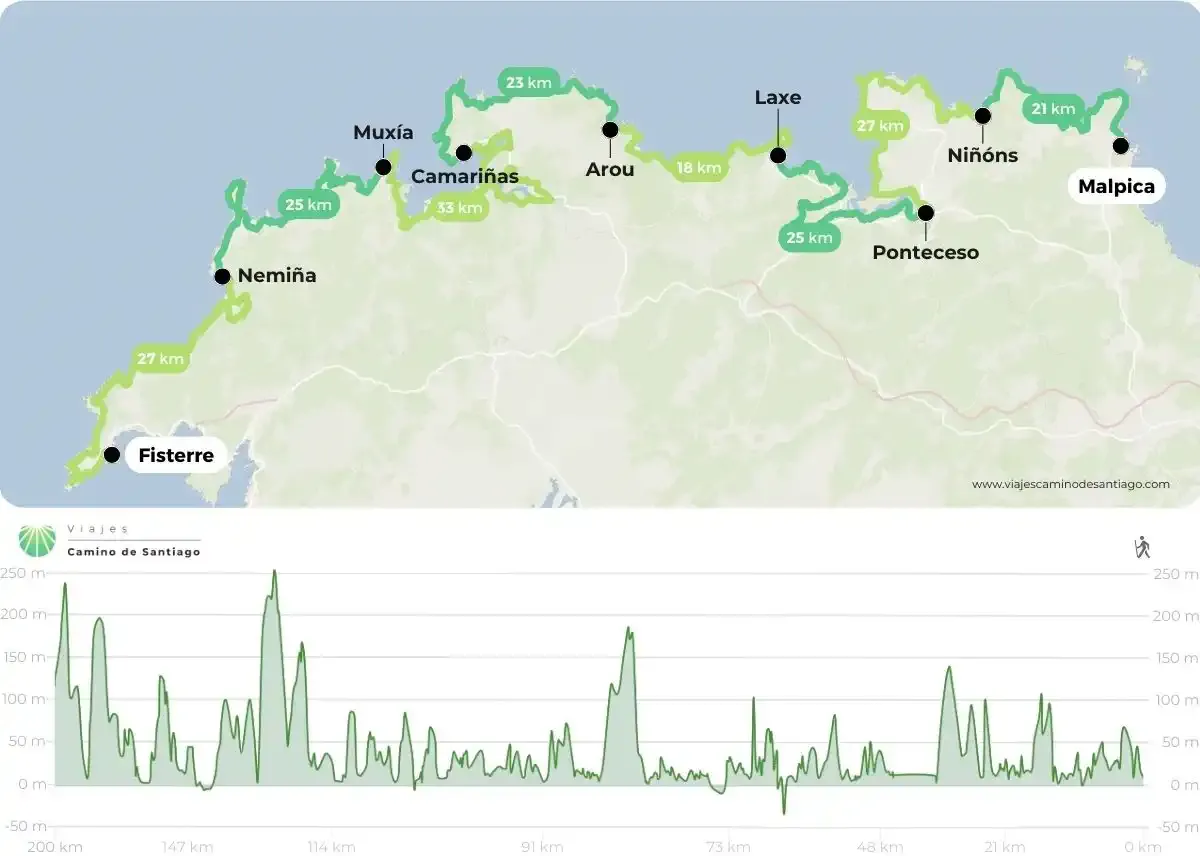
Map and elevation profile of the Way of the Lighthouses, from Malpica to Finisterre.
How do you read the map of the Way of the Lighthouses?
On the map, Malpica is on the right and Finisterre on the left: you walk from north-east to south-west along the coast of the province of A Coruña, never losing sight of the sea. The route is divided into 8 stages:
- Malpica – Niñóns Beach.
- Niñóns Beach – Ponteceso.
- Ponteceso – Laxe.
- Laxe – Arou, the shortest stage.
- Arou – Camariñas.
- Camariñas – Muxía, the longest stage.
- Muxía – Nemiña.
- Nemiña – Finisterre, the end of the route.
The elevation profile at the bottom shows that this is a Camino almost at sea level, but with many short ups and downs: the highest point is Monte Castelo, at 312 m, on the Ponteceso to Laxe stage.
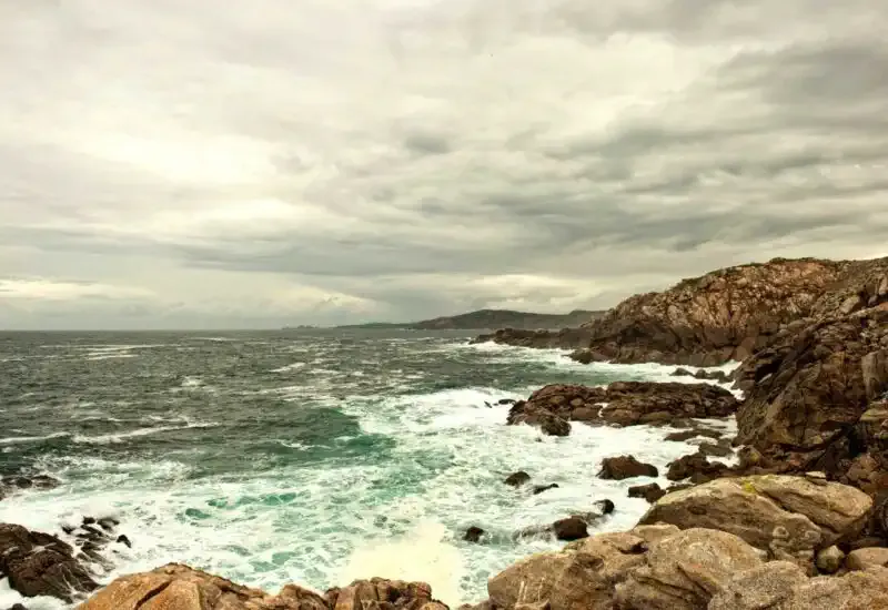
The Costa da Morte, with the Atlantic always by your side.
What to keep in mind before setting out
The Way of the Lighthouses is not a Camino de Santiago: it does not reach Santiago and does not entitle you to the Compostela. Even so, many walkers choose it as an alternative for its scenery and its peace and quiet.
You will find villages with services along the route, but the terrain is more demanding than it looks: paths beside the cliffs, stretches of sand and many short steep climbs. Bring good footwear and a rain jacket, because on the Costa da Morte the weather changes fast. With the sea always by your side, finding your way with the map is very easy.
Where do I start the Way of the Lighthouses?
The starting point is Malpica de Bergantiños and the finish is Finisterre. If you have the days, you can walk the full Way of the Lighthouses, from Malpica to Finisterre. If you have fewer, you can split it into two halves: from Malpica to Arou or from Arou to Finisterre.
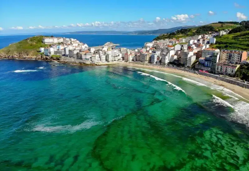
Malpica de Bergantiños, the starting point of the Way of the Lighthouses.
A Camino to feel Atlantic Galicia
As you can see on the map, this Camino takes you along one of the most rugged coasts of Galicia, among lighthouses, capes and almost untouched beaches, and ends in Finisterre, the place that for centuries was considered the end of the world. If what you are looking for is a Camino that gives you the Compostela, here are all the routes of the Camino de Santiago.
Once you know how many days you have and which section you want to walk, work out the price of your Way of the Lighthouses here and get ready to discover the Costa da Morte.
Comments (1)
Rosa
Jorge Severo Medina Martín
Leave a comment