


The English Way Map
30 October, 2026
The English Way links Ferrol and Santiago in about 117 km and 5 stages through the province of A Coruña. On the map you will see its stages, the elevation profile, the most demanding stage and where to start, from Ferrol or from A Coruña.

Here is the map of the English Way, the route followed by pilgrims who arrived by sea at the ports of Ferrol and A Coruña and continued on foot to Santiago. In our proposal for the English Way from Ferrol, it is about 117 km in 5 stages, an ideal distance if you have a week of holiday.
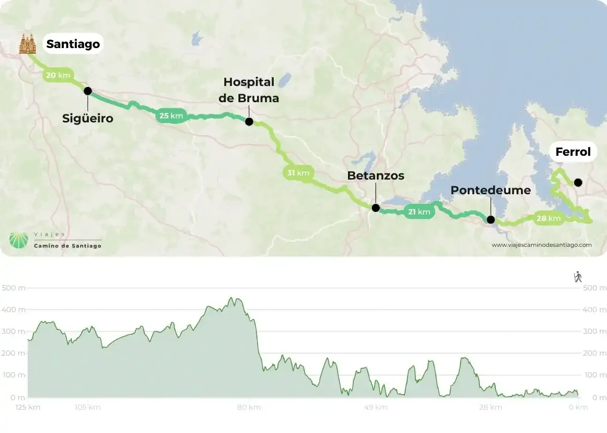
How to read this map of the English Way
The map is read from right to left: it starts in Ferrol and marks the towns where each stage ends: Pontedeume, Betanzos, Hospital de Bruma, Sigüeiro and, finally, Santiago de Compostela. The whole route runs through the province of A Coruña, in Galicia, from north to south.
At the bottom you have the elevation profile. The first two stages skirt the Ferrol, Ares and Betanzos estuaries (rías), almost always close to sea level, with short climbs such as the way out of Pontedeume. The most demanding stage is Betanzos – Hospital de Bruma: the Camino leaves the coast and climbs relentlessly until it passes 400 m. From there, the terrain softens all the way to Santiago.
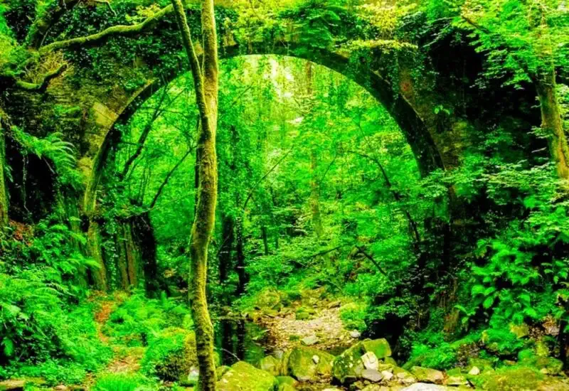
Forests and stone bridges accompany pilgrims on the English Way.
A Camino with services all along the route
The English Way crosses many municipalities and parishes, and almost all of them have bars, shops and accommodation, so you will have no trouble finding services. Although it is one of the less travelled Caminos, it runs through one of the most populated areas of Galicia.
That said: some sections run alongside roads or cross them. Look out for them on the map, pay attention and remember that a reflective vest weighs nothing, takes up no space and can save your life.
Where do I start the English Way?
We recommend doing the full route, starting from Ferrol: the first stage, Ferrol to Pontedeume, is the longest, but also one of the most beautiful, always alongside the estuary.
The other option is to start from A Coruña, in 4 stages that join the route from Ferrol at Hospital de Bruma. Bear in mind that from A Coruña it is about 74 km, so you do not reach the 100 km on foot required to obtain the Compostela. If you want to earn it, start in Ferrol.
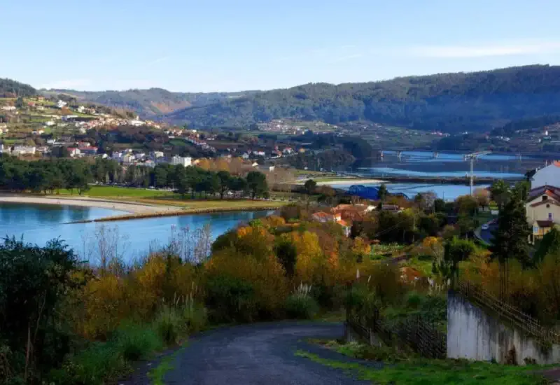
The estuaries (rías) shape the landscape of the first stages of the English Way.
A Camino with a seafaring history
For centuries, English, Irish, Scottish and northern European pilgrims who arrived by boat in Galicia walked this route. After almost disappearing, today the English Way is one of those that has grown the most among the Camino de Santiago routes. If you want to arrive in good shape, here are our tips for getting physically prepared.
If you are looking for another route, check the map of the French Way, the busiest one, the map of the Portuguese Way or the map of the Northern Way, which follows the Cantabrian coast.
Once you are clear about where you want to start and how many days you have, calculate the price of your English Way here and get ready to walk between estuaries and forests all the way to Santiago.