


The Camino de Santiago from Salamanca, the Vía de la Plata from Castile to the lands of Sanabria. 225 kilometres through Zamora and Tábara to Puebla de Sanabria, among Castilian fields, Romanesque churches and the largest glacial lake in Spain.
We handle the logistics so you only have to walk: accommodation, your pilgrim's credential, full documentation and travel insurance, from 585 €. Before the ground starts climbing towards Sanabria, you can add the daily luggage transfer.
The trip along the Vía de la Plata from Salamanca to Puebla de Sanabria is organised by Viajes Camino de Santiago®.
Services
Included in all our routes
- Accommodation
10 days / 9 nights
-
- Complete documentation (Dossier and material for the Camino)
- On-the-road emergency telephone assistance
- Pilgrim's Credential
- Travel insurance
Optional
- Extra night
- Breakfast
- MP (Breakfast and dinner)
- Cancellation Insurance
Accommodations
- Most popular
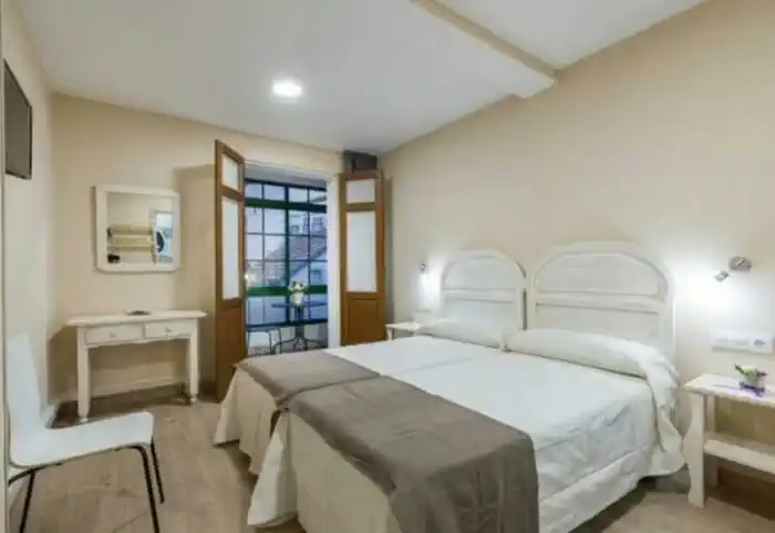
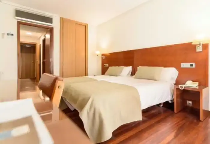
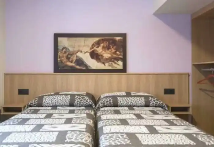
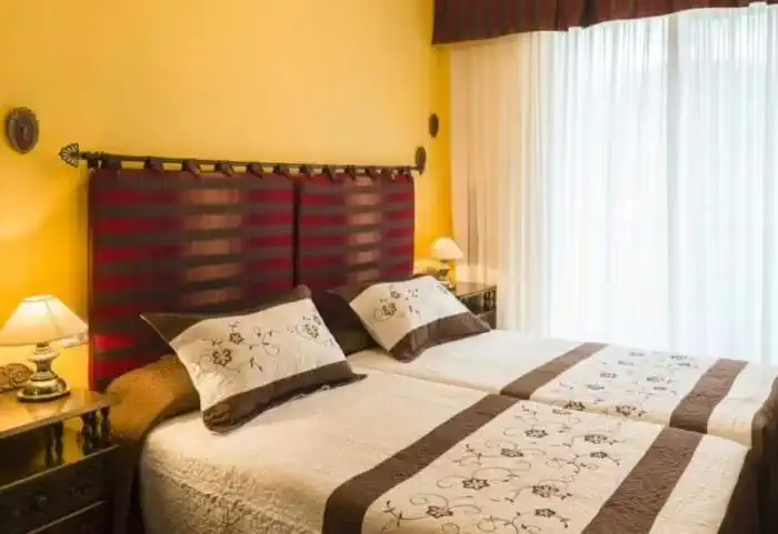
Private comfort (Guesthouses, rural houses and small hotels)
The perfect balance between charm and comfort. Guesthouses, B&Bs and country houses await you in the villages along the Camino with private rooms, private bathrooms, TV, and daily cleaning service. Simple and welcoming, they are the ideal place to truly rest and enjoy the peaceful rural essence that only the Camino can offer.
Photos
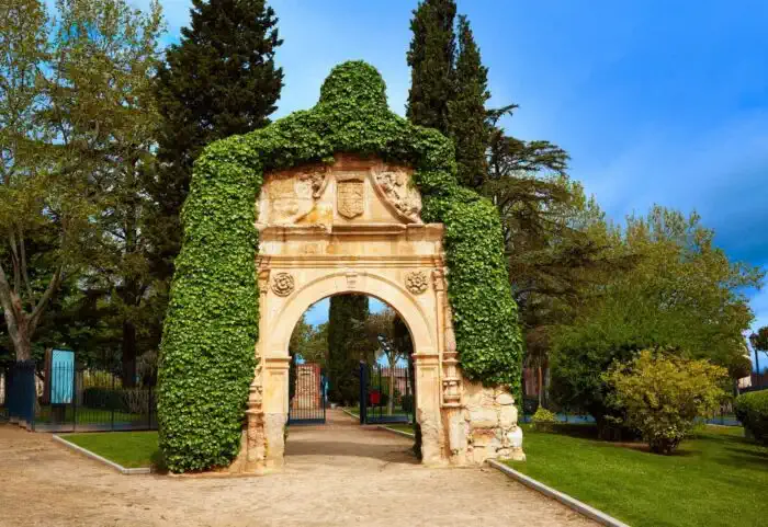
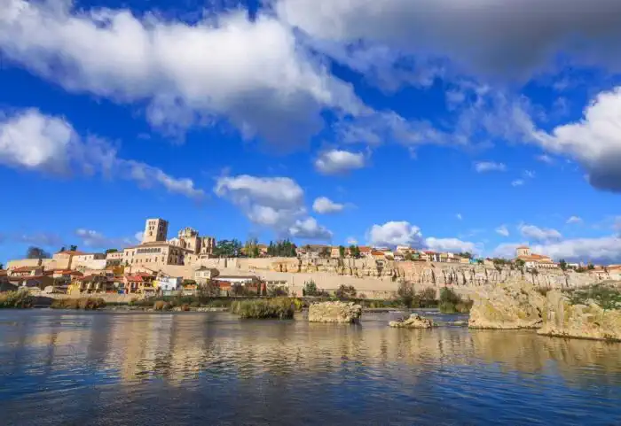
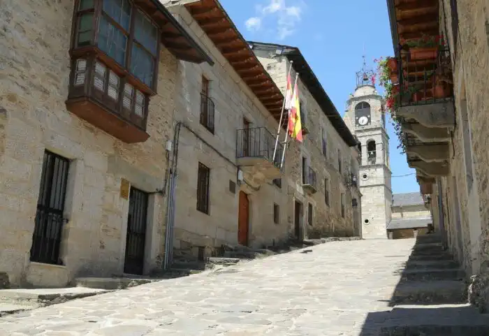
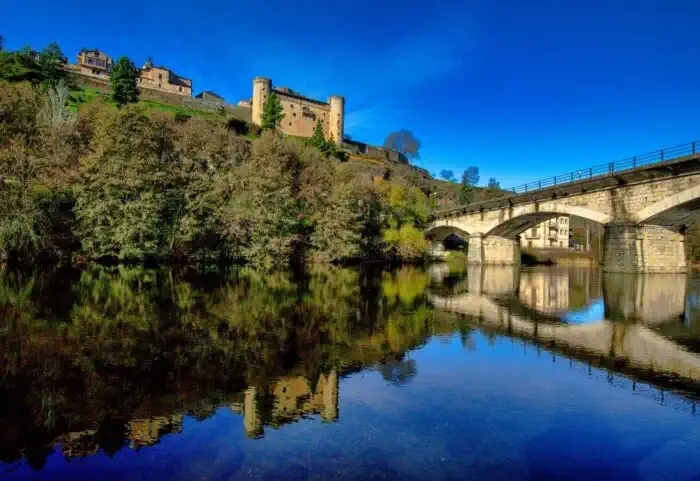
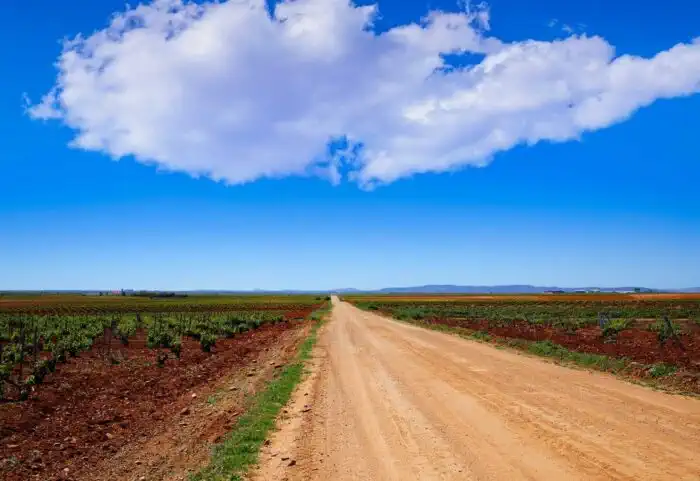
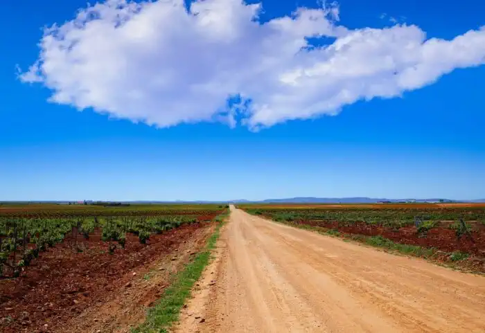
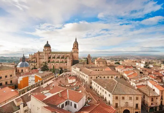
Map of the Vía de la Plata from Salamanca to Puebla de Sanabria
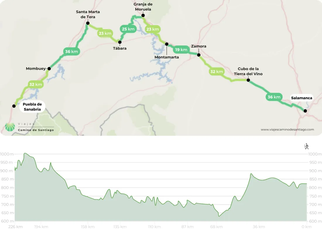
Stages
- day 1
Arrival at Salamanca
- day 2
Stage 1. Salamanca - El Cubo de la Tierra del Vino (36 km)
A long stage at a steady rhythm across the La Armuña plain. You leave from Salamanca's Plaza Mayor and string together Aldeaseca, Castellanos de Villiquera and Calzada de Valdunciel, the midway point and last place with services, where several Roman milestones still stand. Then a solitary stretch northwards until you enter the province of Zamora and reach El Cubo de la Tierra del Vino. - day 3
Stage 2. El Cubo de la Tierra del Vino - Zamora (31.6 km)
A long stage of wide horizons across the Tierra del Vino. You set off leaving behind the church and stone cross of El Cubo, cross the San Cristóbal stream and walk beside an old railway line to Villanueva de Campeán. Then tracks through fields and, at last, the outline of Zamora. You enter across the Duero by its medieval bridge, heading for the Santa María square and the Plaza Mayor. - day 4
Stage 3. Zamora - Montamarta (19.2 km)
A short transition day, ideal for taking it easy. You leave Zamora through the Plaza Mayor and cross the walls at the Doña Urraca gate, then drop towards La Hiniesta across open fields. Afterwards, Roales del Pan and tracks running parallel to the main road as far as Montamarta, overlooking the Esla reservoir and crowned by the chapel of Santa María del Castillo. - day 5
Stage 4. Montamarta - Granja de Moreruela (22.6 km)
A calm, manageable stage across the Zamora countryside. You leave Montamarta beside the chapel of Santa María del Castillo and walk close to the main road until you cross an arm of the Ricobayo reservoir. Before Fontanillas de Castro you can detour to the ruins of Castrotorafe. Then Riego del Camino and the final kilometres to Granja de Moreruela, where the Camino Sanabrés begins. - day 6
Stage 5. Granja de Moreruela - Tábara (25 km)
Here the Way forks: to the left, towards Ourense along the Sanabrés. You leave Granja de Moreruela on dirt tracks, with a gentle climb and a descent to the river Esla, which you cross by the Quintos bridge. Then a hilltop with good views and tracks through fields to Faramontanos, with its 13th-century church of San Martín, and five kilometres more to Tábara. - day 7
Stage 6. Tábara - Santa Marta de Tera (23 km)
A friendly stage through holm-oak country. You leave Tábara beside the church of San Salvador and halfway along you choose: the official variant through Bercianos de Valverde, prettier, among vineyards and chestnut trees, or the one through Villanueva de las Peras, which has a bar. Both meet in Santa Croya de Tera, which even has a natural pool. In Santa Marta de Tera the oldest statue of Saint James the Pilgrim awaits. - day 8
Stage 7. Santa Marta de Tera - Mombuey (36.1 km)
A very long but gentle stage, almost always alongside the river Tera, among riverside woods and poplar groves. You pass Calzadilla de Tera and Olleros before crossing the dam of the Agavanzal reservoir, with its sanctuary. Then come the pine and oak woods of Villar de Farfón and the descent to the Río Negro as far as Rionegro del Puente, from where nine kilometres remain to Mombuey. - day 9
Stage 8. Mombuey - Puebla de Sanabria (31.7 km)
A long, quiet stage across the Zamora plateau. You leave Mombuey on a tree-lined path and string together charming villages: Valdemerilla, Cernadilla with its Baroque church, Palanzuelo, Entrepeñas and Asturianos. Then Palacios de Sanabria, Remesal and Triufé bring you close to the end. You cross the river Tera and climb to the old town of Puebla de Sanabria, crowned by the castle of the counts of Benavente. - day 10
End of the trip
After your last night, you check out of your accommodation and your trip comes to an end.
Related Trips
 7 days / 6 nights
Frequently Asked Questions
-
How long does it take to travel the Silver Route?
The Silver Route starts in Seville and has almost 1,000 kilometres to Santiago de Compostela. In terms of days and stages, it can be divided in two ways, as it depends on which Camino you end up on. This route shares the final stretch with the French Way from Astorga (León), or with the Sanabrés Way in Granja de Moreruela (Zamora):- For the French Way, it has 38 stages, therefore, 38 days;
- For the Sanabrés Way, it has 36 stages, therefore, 36 days.
-
How many stages does the Silver Route have?
The Silver Route starts in Seville and has almost 1000 kilometres to Santiago de Compostela. As for the stages, it can be divided in two ways, as it depends on which Camino you end up on. This route shares the final stretch with the French Way from Astorga (León), or with the Sanabrés Way in Granja de Moreruela (Zamora):- For the French Way, it has 38 stages;
- For the Sanabrés Way, it has 36 stages.
-
How many kilometers are there on the Silver Route?
The total kilometers of the Silver Route from Seville depend on how you get to Santiago de Compostela. This historic route has two possible ‘endings’: By the French Way from Astorga (León): about 1000 kilometres; By the Sanabrés Way from Granja de Moreruela (Zamora): about 970 kilometres. It should be borne in mind that this distance may vary depending on the possible variants or complementary and alternative paths that the pilgrim decides to take during the route. -
Which rivers does the Silver Route cross?
The Silver Route, one of the historic routes of the Camino de Santiago, crosses several important rivers, streams, creeks, reservoirs and lakes along its route from Seville to Santiago de Compostela. Among the most prominent rivers crossed by pilgrims on this route are:- Guadalquivir (Seville)
- Guadiana (Mérida)
- Tagus (Cáceres)
- Tormes (Salamanca)
- Duero (Zamora)
- Esla (Zamora)
- Órbigo (León)
- Sil (León)
- Miño (Lugo)
- Miño (Ourense)
- Ulla (A Coruña)
- Sar (A Coruña)
-
Who created the Silver Route?
The Silver Route was not originally created as a pilgrimage route, but as a Roman road built during the Roman Empire. Its main purpose was to connect the cities of Emerita Augusta (present-day Mérida) and Asturica Augusta (present-day Astorga), facilitating trade, military transport and communications throughout the Iberian Peninsula. Over time, this route became a strategic route for trade, warfare and the pilgrims from southern Spain who used it to reach Santiago de Compostela. Silver’ has nothing to do with the transport of this material. The name of this route comes from the pronunciation of the Arabic term ‘balath’, which means ‘paved road’, in relation to the Roman road.
