


The Camino de Santiago from Mérida, the Vía de la Plata through its Roman heart. 287 kilometres through Cáceres, Cañaveral and Baños de Montemayor to Salamanca, among aqueducts, Extremaduran dehesas and World Heritage cities.
You walk; we provide the logistics: accommodation, your pilgrim's credential, full documentation and travel insurance, from 545 €. There are long kilometres of dehesa between villages: add the daily luggage transfer if you'd rather cover them light.
The Vía de la Plata from Mérida to Salamanca is an itinerary organised by Viajes Camino de Santiago®.
Services
Included in all our routes
- Accommodation
12 days / 11 nights
-
- Complete documentation (Dossier and material for the Camino)
- On-the-road emergency telephone assistance
- Pilgrim's Credential
- Travel insurance
Optional
- Extra night
- Supplement for single room
- Breakfast
- MP (Breakfast and dinner)
- Cancellation Insurance
Accommodations
- Most popular
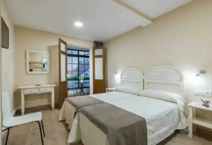
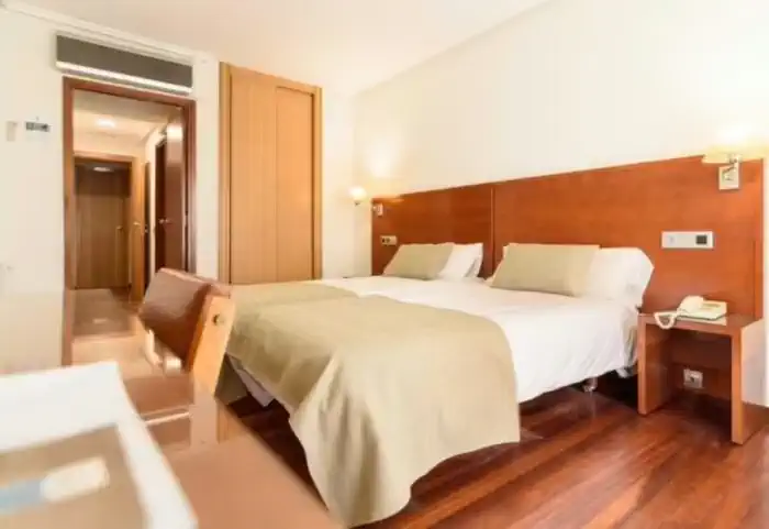
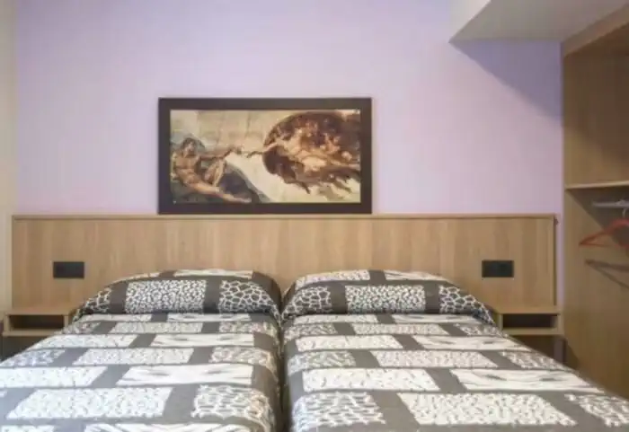
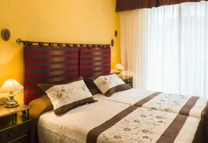
Private comfort (Guesthouses, rural houses and small hotels)
The perfect balance between charm and comfort. Guesthouses, B&Bs and country houses await you in the villages along the Camino with private rooms, private bathrooms, TV, and daily cleaning service. Simple and welcoming, they are the ideal place to truly rest and enjoy the peaceful rural essence that only the Camino can offer.
Photos
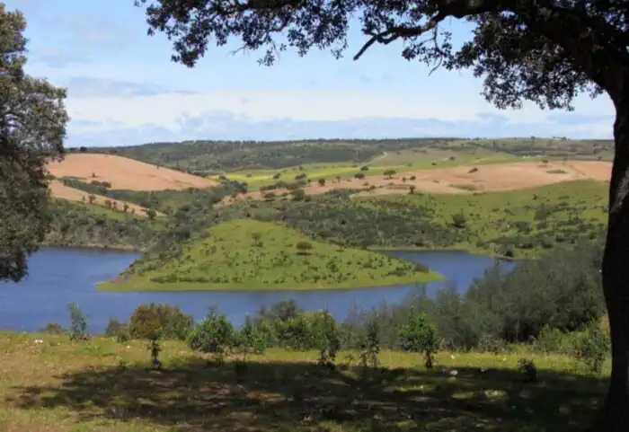
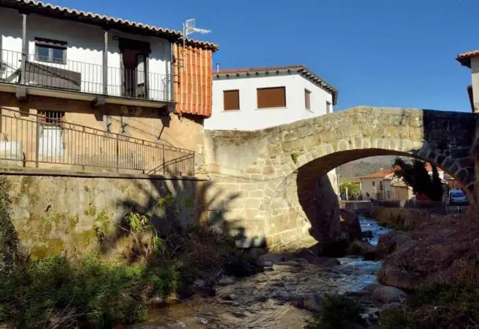
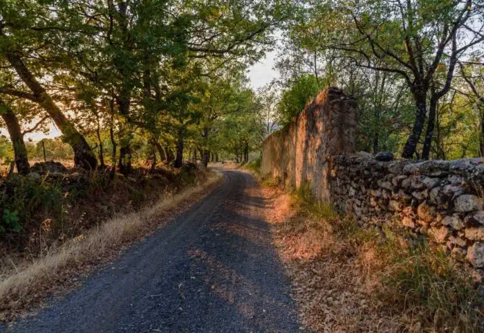
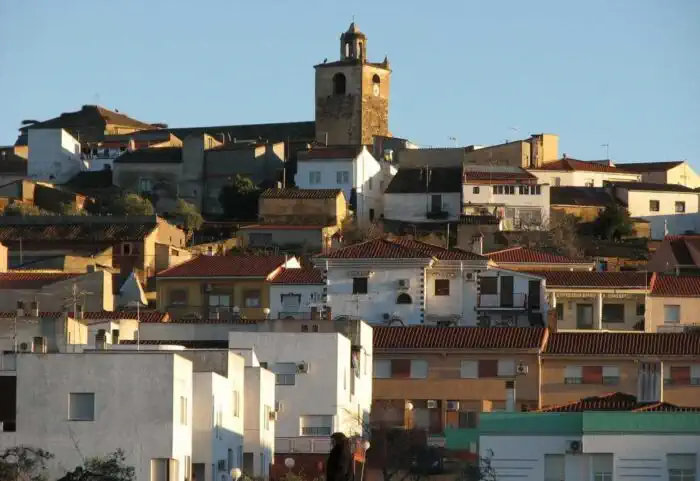
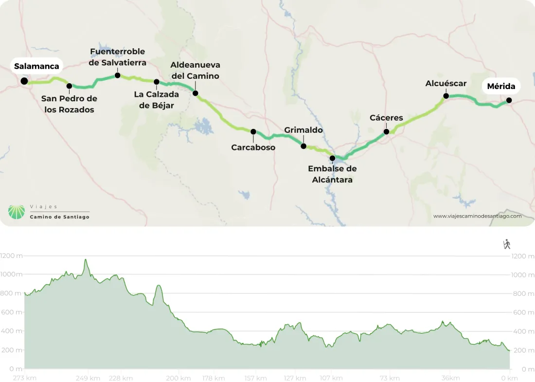
Map of the Vía de la Plata from Mérida to Salamanca
Stages
- day 1
Arrival at Mérida
- day 2
Stage 1. Mérida - Alcuéscar (35.9 km)
A long, varied stage with a strong Roman flavour. You leave Mérida beside the co-cathedral and take a short detour to see the Acueducto de los Milagros before skirting the Proserpina reservoir. Then dirt tracks to Carrascalejo and Aljucén, where a gentle climb takes you into the pastures of the Cornalvo natural park. Already in Cáceres province, the final kilometres to Alcuéscar. - day 3
Stage 2. Alcuéscar - Cáceres (37.4 km)
A long stage with a real Extremadura flavour: tracks among olive groves, holm oaks and kermes oaks, with the medieval bridge over the Ayuela and a Roman bridge over the Santiago stream. You pass Casas de Don Antonio and Aldea del Cano, and recover your strength in Valdesalor after crossing the Puente Viejo de la Mocha. Beyond the Puerto de las Camellas, the reward: entering Cáceres as far as its Plaza Mayor. - day 4
Stage 3. Cáceres - Alcántara (33.8 km)
A long stage with wide horizons. You leave Cáceres and reach Casar de Cáceres, a good place for a stop, before setting out beside its chapel of Santiago towards pastureland where the cattle graze. Look closely at the stone pillars lining the way: they are Roman milestones. After crossing the river Almonte and the Tagus, you finish overlooking the huge Alcántara reservoir. - day 5
Stage 4. Alcántara - Grimaldo (20 km)
A short stage, very complete in landscapes. You set off with fine views of the Alcántara reservoir and skirt the Garrote hill to the 14th-century bridge of San Benito, which leads you into Cañaveral, a good place to refuel. Then comes the most demanding part, the climb to the Alto de los Castaños, and a descent among cork oaks to the Grimaldo turn-off. - day 6
Stage 5. Grimaldo - Carcaboso (30.2 km)
You leave Grimaldo and cross pastures and cork-oak woods to Riolobos, where you will find every service to get your strength back. The path then takes you alongside the Jerte canal and up the Las Monjas stream to Galisteo: you leave its square through the town wall and cross the Jerte by the so-called Roman bridge. A last stretch on the road drops you in Carcaboso. - day 7
Stage 6. Carcaboso - Aldeanueva del Camino (38.3 km)
One of the longest stages on the Vía de la Plata, and one of the prettiest: tracks among cork oaks and pastures where cattle graze, with very little traffic and a lot of silence. The great moment comes halfway, at the foot of the Cáparra arch, the only Roman tetrapylon arch on the peninsula and practically the only place to stock up all day. Then more pastureland to Aldeanueva del Camino. - day 8
Stage 7. Aldeanueva del Camino - La Calzada de Béjar (21.8 km)
A short stage with a demanding touch. You skirt the Baños reservoir and reach Baños de Montemayor, which owes its name to its Roman baths. On the way out the best of the day awaits: a stretch of cobbled Roman road that climbs to the Béjar pass and leaves you in Castilla y León. Then oak and holm-oak woods, the Roman bridge of La Malena and one of the best preserved milestones on the route. - day 9
Stage 8. La Calzada de Béjar - Fuenterroble de Salvatierra (27.9 km)
A short, restful stage, and one of the best waymarked on the Vía de la Plata: Roman milestones keep you company for much of the way. You leave La Calzada de Béjar alternating path and tarmac until you cross the river Sangustín, heading for Valverde de Valdelacasa and Valdelacasa. The last four kilometres are a gentle descent to Fuenterroble de Salvatierra. - day 10
Stage 9. Fuenterroble de Salvatierra - San Pedro de Rozados (20.6 km)
The most mountainous stretch of the Vía de la Plata in the province of Salamanca: 20.6 kilometres of open countryside with the climb to Pico de la Dueña, which comes close to 1,147 metres, and a long descent to San Pedro de Rozados. It's a solitary stage, so set off with water and something to eat in your backpack. On arrival, the Campo de Salamanca, Guijuelo ham and bollo maimón are waiting for you. - day 11
Stage 10. San Pedro de Rozados - Salamanca (20.6 km)
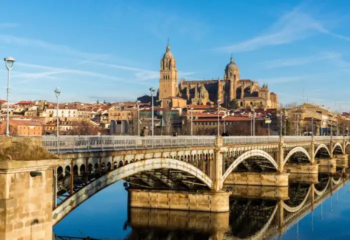
Salamanca is golden stone and university life. The Plaza Mayor, one of the most beautiful in Europe, the Casa de las Conchas, the two cathedrals standing side by side, and the university façade, where everyone looks for the famous frog. At dusk the city lights up, and the tapas scene around Van Dyck never disappoints. - day 12
End of the trip
After your last night, you check out of your accommodation and your trip comes to an end.
Related Trips
 7 days / 6 nights
Frequently Asked Questions
-
How long does it take to travel the Silver Route?
The Silver Route starts in Seville and has almost 1,000 kilometres to Santiago de Compostela. In terms of days and stages, it can be divided in two ways, as it depends on which Camino you end up on. This route shares the final stretch with the French Way from Astorga (León), or with the Sanabrés Way in Granja de Moreruela (Zamora):- For the French Way, it has 38 stages, therefore, 38 days;
- For the Sanabrés Way, it has 36 stages, therefore, 36 days.
-
How many stages does the Silver Route have?
The Silver Route starts in Seville and has almost 1000 kilometres to Santiago de Compostela. As for the stages, it can be divided in two ways, as it depends on which Camino you end up on. This route shares the final stretch with the French Way from Astorga (León), or with the Sanabrés Way in Granja de Moreruela (Zamora):- For the French Way, it has 38 stages;
- For the Sanabrés Way, it has 36 stages.
-
How many kilometers are there on the Silver Route?
The total kilometers of the Silver Route from Seville depend on how you get to Santiago de Compostela. This historic route has two possible ‘endings’: By the French Way from Astorga (León): about 1000 kilometres; By the Sanabrés Way from Granja de Moreruela (Zamora): about 970 kilometres. It should be borne in mind that this distance may vary depending on the possible variants or complementary and alternative paths that the pilgrim decides to take during the route. -
Which rivers does the Silver Route cross?
The Silver Route, one of the historic routes of the Camino de Santiago, crosses several important rivers, streams, creeks, reservoirs and lakes along its route from Seville to Santiago de Compostela. Among the most prominent rivers crossed by pilgrims on this route are:- Guadalquivir (Seville)
- Guadiana (Mérida)
- Tagus (Cáceres)
- Tormes (Salamanca)
- Duero (Zamora)
- Esla (Zamora)
- Órbigo (León)
- Sil (León)
- Miño (Lugo)
- Miño (Ourense)
- Ulla (A Coruña)
- Sar (A Coruña)
-
Who created the Silver Route?
The Silver Route was not originally created as a pilgrimage route, but as a Roman road built during the Roman Empire. Its main purpose was to connect the cities of Emerita Augusta (present-day Mérida) and Asturica Augusta (present-day Astorga), facilitating trade, military transport and communications throughout the Iberian Peninsula. Over time, this route became a strategic route for trade, warfare and the pilgrims from southern Spain who used it to reach Santiago de Compostela. Silver’ has nothing to do with the transport of this material. The name of this route comes from the pronunciation of the Arabic term ‘balath’, which means ‘paved road’, in relation to the Roman road.
