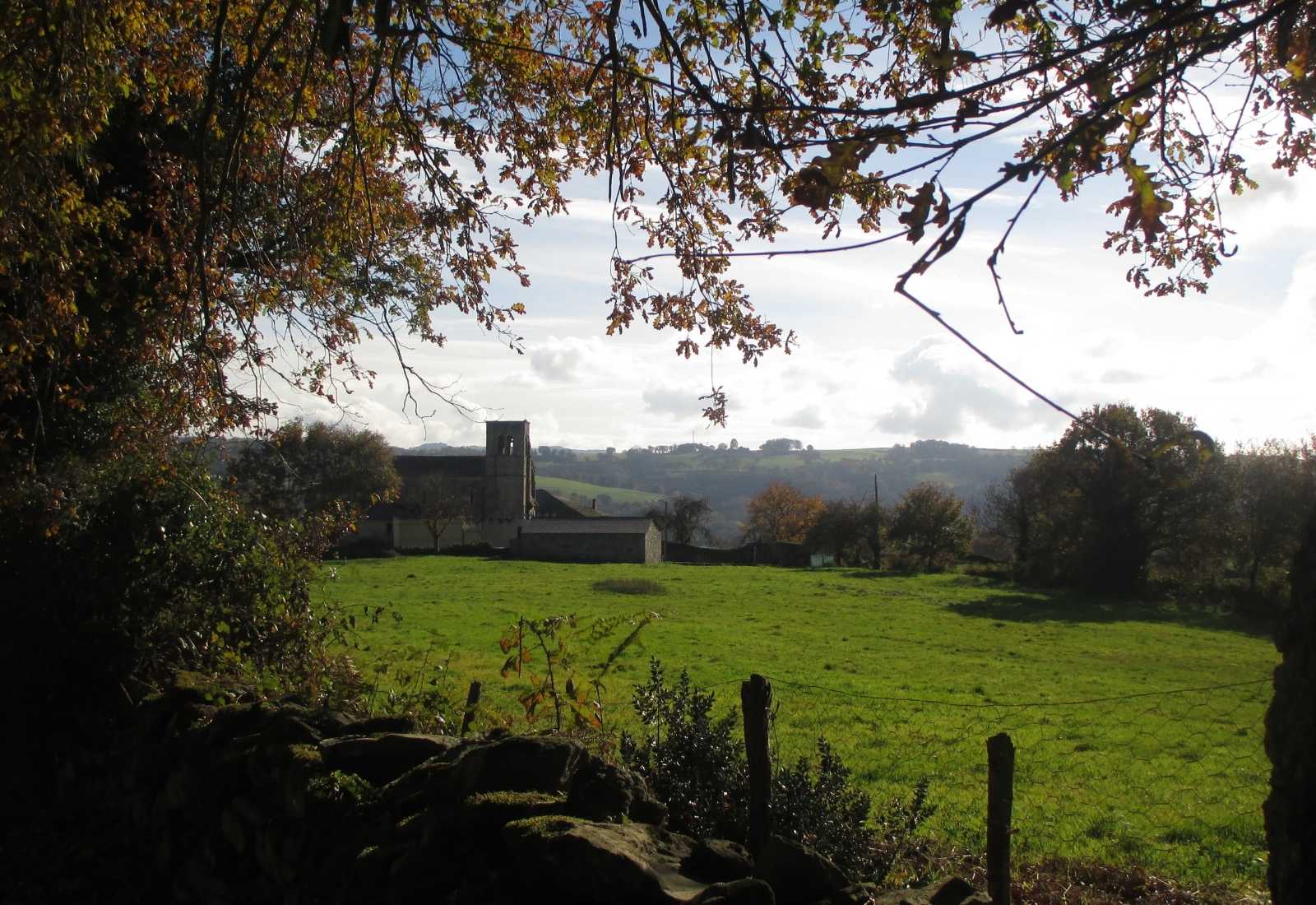
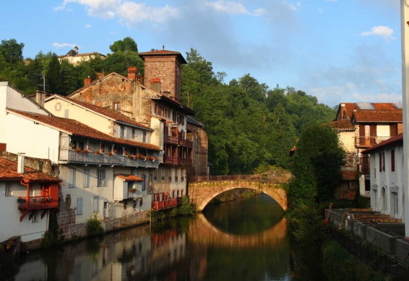
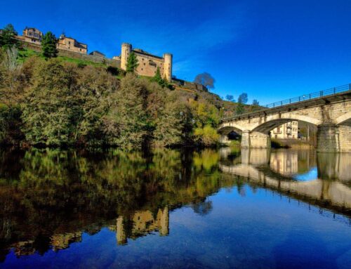
The map you’re viewing traditionally covers the entire route of the French Way from Roncesvalles. However, it’s worth noting that you can also choose to start from the other side of the border in France and walk the 24 kilometers that separate St Jean Pied de Port from this small town in Navarre.
[/fusion_text]
How can I understand this map of the French Way?
This map details the nearly 800 kilometers of the French Route, divided into 33 stages. It traverses a significant portion of Spanish geography, crossing 4 Autonomous Communities and 7 Provinces. Along the route, you’ll visit Navarra, La Rioja, Castilla y León (provinces of Burgos, Palencia, and León), and Galicia (provinces of Lugo and A Coruña).
During this adventure, you’ll encounter a total of 141 towns with services, so there’s no need to worry! This route boasts ample infrastructure, with, on average, a town with services every 5.6 kilometers.
To take into account!
Perhaps the sections in which you should prepare yourself the most for addressing the lack of services are those that separate the populations of Carrión de Los Condes -Terradillo de los Templarios (up to Calzadilla de la Cueza) , de Estella – Los Arcos (from Villamayor de Monjardín) and of Belorado – San Juan de Ortega (from Villafranca Montes de Oca).
In case you want to start from St Jean Pied du Port you must take into account that in the section from Orisson to Roncesvalles it will also be difficult to find services.
But… where do I start the Camino?
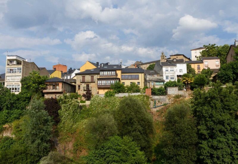
The most common starting points for this Way include: St Jean Pied de Port, just beyond the border with France; Roncesvalles in the heart of the Pyrenees; Logroño in the heart of La Rioja; or Burgos. If time is limited, it’s typical to begin from Sarria, south of Lugo, where you can meet the minimum walking requirements. Alternatively, you can start from O Cebreiro to traverse Galicia from east to west, or if you prefer, you can begin from León to enjoy the entrance to this verdant region.
Important! Keep in mind that if you are going to do it by bike, Ponferrada will be your starting point to meet the minimum requirements and be able to receive the Compostela.
In spite of the fact that there are no big ascents in the French Way, in the height difference map you can see how the usual ascents and descents from Roncesvalles make that the final accumulated final accumulated height is around 3000 m. Don’t worry, this route is taken by approximately 70% of pilgrims, so don’t worry! You can handle it.
Without a doubt, if this is your first experience as a pilgrim, keep this map handy because the French Way is your Way

Leave A Comment